Walk Trails
Wildlife
An abundance of birds of varying species, both rare and common and too many to mention, abound on the open sea shorelines, on and around the inlets, estuaries, swamps, river valleys, sand plains, mallee scrub, woodlands and open sky. Primarily, their habitat is where they find food and most places are easily accessible for bird watching by 2WD. Migrating whales can be easily seen during June to October from many vantage points along the coast, a popular look out point being Point Ann.
town walks
Ravensthorpe town - historical walk
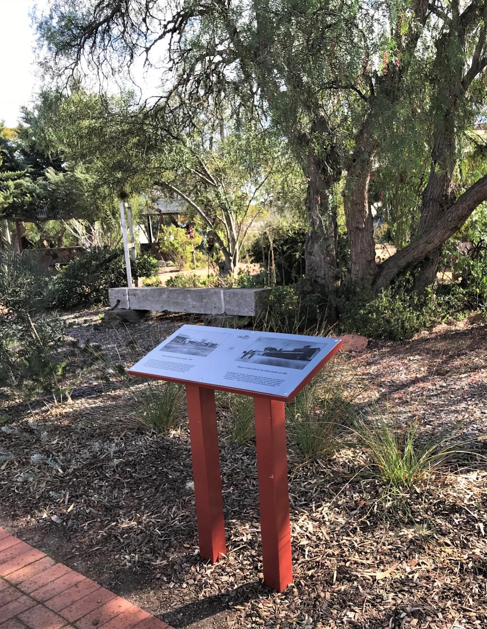 Download Ravensthorpe Town Historical Walk Brochure
in 1848, the area was first surveyed by then State Surveyor-General John Septimus Roe with the Dunn brothers settling in the area in 1868 at Cocanarup. It wasn't until 1900 when Ravensthorpe and Hopetoun were surveyed and then gazetted in 1901. The historical town walk in Ravensthorpe will highlight some of the key historical structures and sites that played a role in the development of the town.
walk trails within the fitzgerald river national park
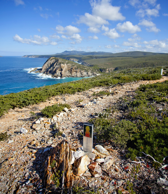
MAMANG WALK TRAIL
(31km return)
Mamang comes from the Aboriginal name for whale. The name is very fitting as the trail begins at Point Ann (popular whale spotting site) on the south-western end of the Shire of Ravensthorpe and stretches 15.5 km along the coast of the Fitzgerald River National Park to Point Charles. Get amongst the unique flora and fauna on this trail, watch the Southern Right Whales nurse their newborn calves close to shore (between July and October) and take in the breathtaking viewpoints of the entire coastline from Doubtful Islands in Bremer Bay to East Mt Barren.
Travel Tip: Check Parks and Wildlife's Road Conditions Access Report before heading out to ensure that the unsealed roads and tracks are open as they can close at short notice after rainfall.
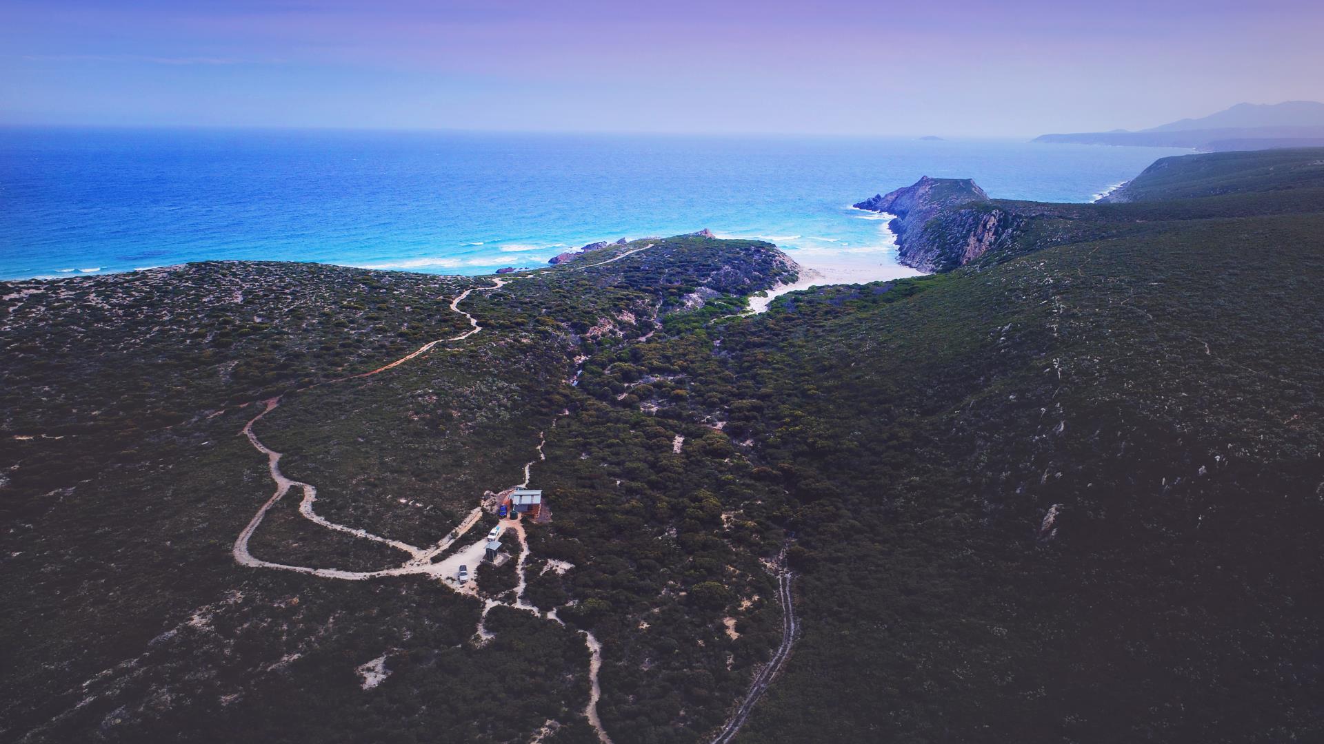
HAKEA WALK TRAIL
(46.8km return)
Named after the iconic wildflower – the Royal Hakea (Hakea victoria) which can be seen growing along many parts of the trail, the Hakea Walk Trail is considered by many visitors as one of the best remote hiking trails in Western Australia. This spectacular and sometimes rugged walk trail will take you along the eastern coastline of the Fitzgerald River National Park, starting at the Cave Point car park and finishing 23km to the west near Quoin Head.
Hikers will find occasional rest areas with seats or platforms mostly located at the viewpoints and the well marked trail can be completed in sections, some of which can be return trips and offering the options for an easier half day walk, a full day walk and a two day walk. There are three starting points for the trail; Cave Point, West Beach and Hamersley Inlet recreation area with all three trail heads accessible from sealed roads.
Please note that there are beach sections of the trail that may be affected by high tide so be sure to check conditions prior to commencing and there are no toilet facilities along the trail until you reach Whalebone Beach Campground where you can rest overnight. Here you will find a shelter similar to the standards on the Bibbulmun Track, a drop toilet and couple of water tanks (but please carry own water as there is no guarantee that the tanks will be full as dependant of seasonal rain). Soak in the isolation and serenity of this beautiful coastal wilderness before continuing your journey to Quoin Head. For full details about the trail download a copy of Department of Parks and Wildlife Hakea Walk Trail Brochure by clicking on link.
The Trail is a Class 4 walk that requires a good level of fitness.
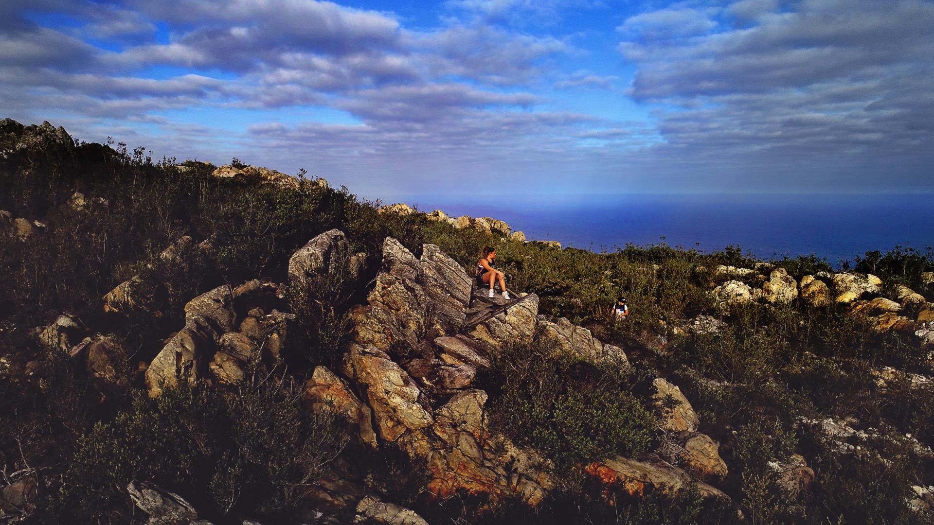
EAST MT BARREN – CLIMB
The walk to the summit of East Mt Barren features stunning views over the central park and eastern Eyre Range, the Culham Inlet to Hopetoun, and beyond to Esperance. Allow 2-3 hrs. 2.6 km return, moderate difficulty.
Other walk trails
HOPETOUN RAVENSTHORPE – RAILWAY HERITAGE WALK TRAIL
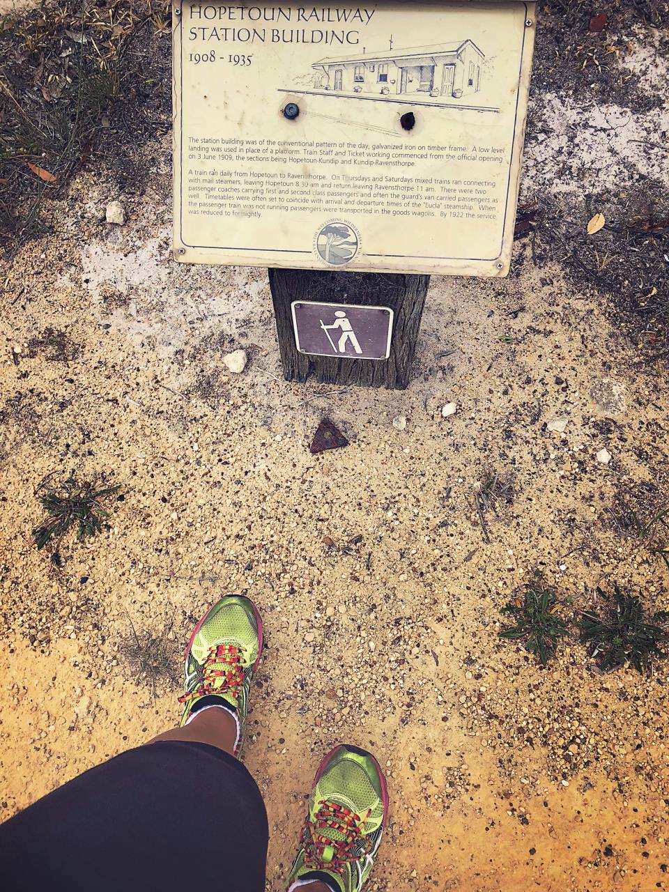
The railway was established in 1909 for use in the gold rush in the Phillips River Goldfield, transporting products from Ravensthorpe to the port at Mary Ann Haven (later Hopetoun). By 1914 mining had dropped off in the region, however the railway was still used for farming up until 1935 to carry wheat to the port. The trail is broken into sections, and in some, relics of the railway still remain, enjoy exploring a trail rich in wildflowers, natural beauty and history.
| AREA |
DISTANCE |
TIME |
| Ravensthorpe to Desmond |
16km |
3-4 Hours |
| Desmond to Kundip |
9km |
3-4 Hours |
| Kundip to Lee Creek |
13km |
5-6 Hours |
| Kundip Figure of Eight |
5km |
1-2 Hours |
| Hopetoun Trailhead Loop |
14km |
3-4 Hour |
To find brochures specific to each trail please visit the Ravensthorpe Visitor Centre located on Morgans Street. Please only attempt the trails if you have experience in bushwalking, moderate fitness, sturdy boots, appropriate clothing and plenty of water.
Take nothing away but your memories (and some happy snaps) leave nothing behind but your footprints.